Visit the Protect The Adirondacks Website HERE
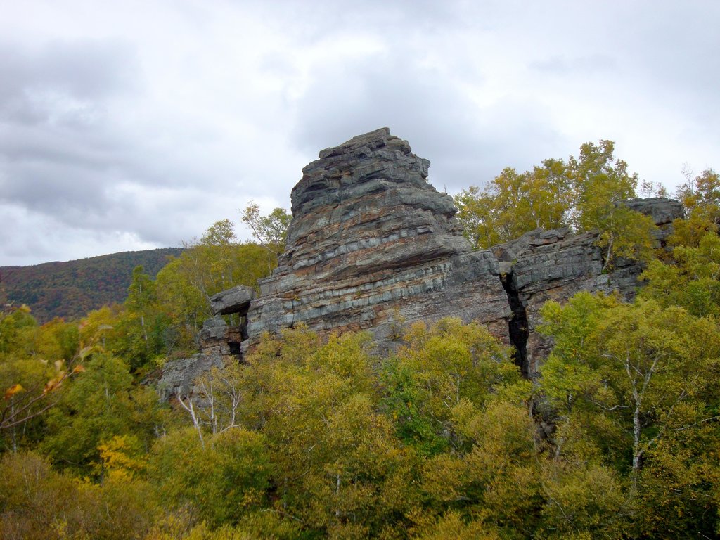
Blue Ledge on The Hudson River
 Blue Ledge on The Hudson River

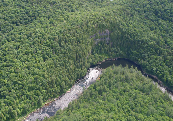
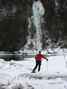
Blue Ledge on The Hudson River – The Blue Ledge Pool is the popular lunch stop for whitewater rafting trips on the Hudson. Foot trail access is via the Northwoods Club Road off Rt. 28N in Minerva. Drive all the way into Huntley Pond where you’ll see a “Trail To” sign and a small parking lot. Blue Ledge gets it’s name from the blue/grey rock forming the ledges. In winter this forms a large ice fall and the Blue Ledge is a great destination for snowshoers or backcountry skiers. The hike in about 3 miles and is not difficult. More Hikes Here
Printable Map of Blue Ledge TrailTrailhead Directions CLICK HERE
Click the Map to Activate Control
Blue Ledge Trail Head, Huntley Pond, Northwoods Clud Road, Minerva
Blue Ledge Trail, 3.5 miles to the Hudson River
Huntley Pond
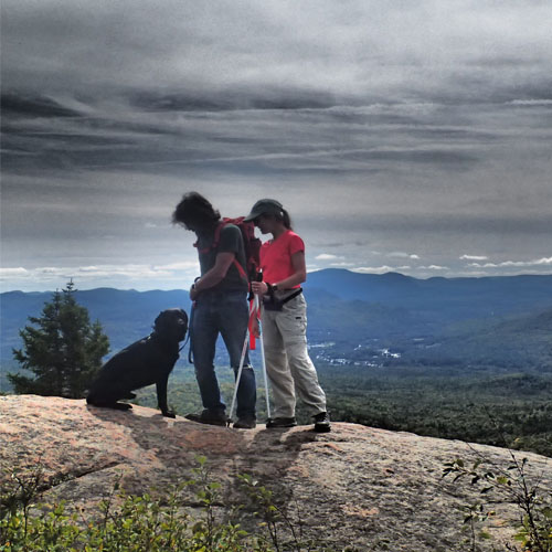
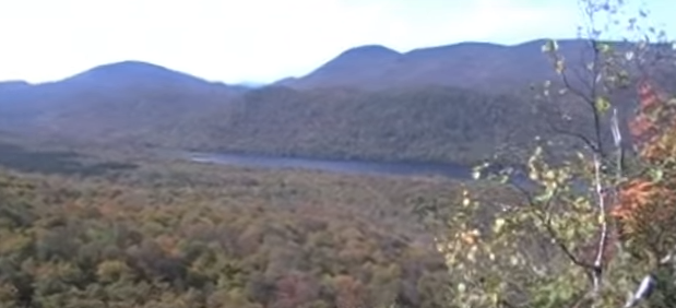
Moxham Mt.
 Moxham Mt
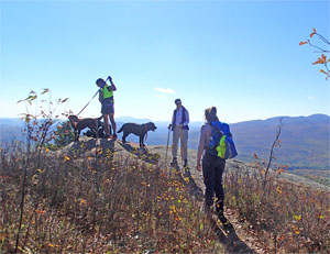
This is one of the best climbs in the Southern Adirondacks! The views begin early with numerous outlooks – then at the very summit is an almost 360 degree view looking at Gore Mt., and the mountains in North River with the Hudson River in view across it all! Access is from Minerva – Rt 28N to 14th Road, parking lot near the end of the road.
Scroll Down For Interactive Map and Video of The View from Moxham
CNY Hiking Page – great pics and map CLICK HEREPrintable Map, Moxham Mt. CLICK HERE
Click the Map to Activate Controls
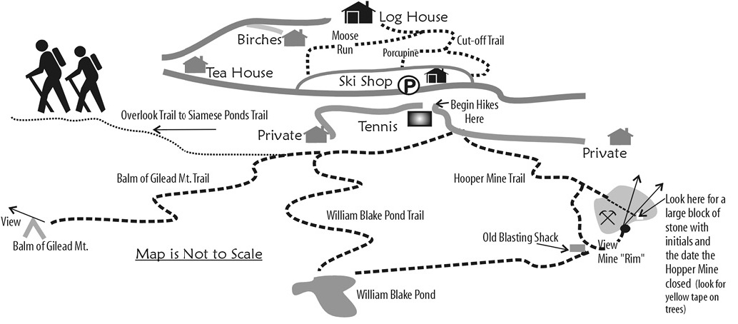
Balm of Gilead, Wm. Blake Pond, Hooper Mine
Balm of Gilead, Wm. Blake Pond, Hooper Mine
These are three short hikes all near the Ski Shop at Garnet Hill Lodge. You can begin the hikes at The Old Farm Road Trailhead or at the Ski Shop. The views from the summit of Balm of Gilead and the top of the Old Hooper Mine are spectacular! These hikes are perfect for families or hikers that just want a short time out on the trails. They also make a great ski or snowshoe destination in winter. Log House in the map below is Garnet Hill Lodge.
Scroll Down for more maps and links
Click the Map to Activate Controls
Map Links, Balm of Gilead, Wm. Blake Pond, Hooper Mine
Printable Map Balm of Gilead Mt.Hiking Guide Siamese Ponds Wilderness AreaAdk Atlas Balm of Gilead Map Link
Back to All Hikes, CLICK HERE!
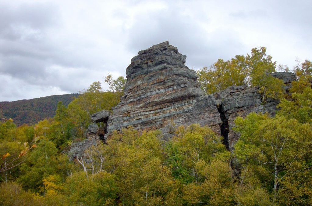
Chimney Mt.
Chimney Mountain
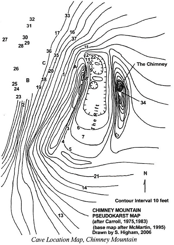
 Chimney Mt. is a small mountain, only rising 2,700 ft. above sea level. It is a very popular mountain in the central Adirondacks. There are three factors that contribute to Chimney’s popularity. The first factor is that the summit offers 360 degree views (make sure you leave the chimney and proceed on to the true summit!). The second factor is that the trail to the summit is a steep class I trail that is just over a mile long, making the mountain accessible to many hikers of all ages. The third factor is a geologic oddity. Just below and before the summit there is a chimney formation. Along with the chimney there is a system of caves and rock crevasses. The chimney and other rock formations provide many opportunities for climbing scrambling and caving. The large cave is named Eagle Cave and probably requires some caving experience and specialized equipment, but intrepid explorers can enter the cave and descend one level. Better caves are a “walk-through” and these are the ICE CAVES on Chimney. Descend into the rift valley between the Chimney and the Summit and explore around! Scroll down for Interactive Map and Map of Ice Caves.
Chimney Mt. Printable Map CLICK HERE! More Caving Info CLICK HERE!
Click the Map to Activate Controls